top of page
Products
FACE's Product Stack, home to the most advanced and comprehensive climate and flood risk portfolio ever created for Turkey.
High-Resolution, Site-Specific Climate Projections
Our cutting-edge high-resolution climate data solution offers unparalleled precision and accuracy, empowering professionals with the insights needed to make informed decisions in a changing climate.
Advanced Bias Correction and Downscaling
Our data undergoes rigorous refinement using both statistical methods and machine learning models, ensuring optimal accuracy and reliability.
Multi-Model Ensemble Analysis:
-
Our data platform offers robust ensemble-based analysis, combining outputs from multiple models to reduce uncertainty and enhance reliability.
Exceptional Resolution:
-
Spatial Resolution: ~6 km, providing highly localized data tailored to Turkey’s unique geography.
-
Temporal Resolution: Daily, capturing climate dynamics with precision.
Extended Timeframe and Scenarios:
-
Access data from 1950 to 2100 for future scenarios, including SSP245 (moderate emissions) and SSP585 (high emissions).

Extreme Indices for In-Depth Insights
We calculate variable-specific extreme indices for comprehensive climate risk analysis, including:
Temperature Extremes
Maximum consecutive hot days (e.g., heatwaves)
Frost days and growing season length
Annual hottest and coldest day extremes
Precipitation Extremes:
Maximum consecutive dry and wet days
Daily intensity of extreme rainfall events
Annual maximum 1-day and 5-day precipitation totals
Why Choose Our Climate Data?
-
Multi-Model Insights: Reduce uncertainty through ensemble-based analysis for a balanced and robust understanding.
-
Extremes Ready: Comprehensive extreme indices for evaluating climate risks and resilience.
-
Localized Precision: High-resolution data tailored for specific sites and projects.
-
Scenario Analysis: Explore potential impacts under diverse future pathways.
-
Actionable Data: Empower risk assessments, climate adaptation strategies, and sustainable planning.
Our high-resolution, ensemble-enabled climate data, enhanced with extreme indices and tailored for Turkey, equips professionals in urban planning, engineering, environmental science, and policymaking with the tools needed to make impactful, informed decisions. Prepare for the future with confidence and precision.
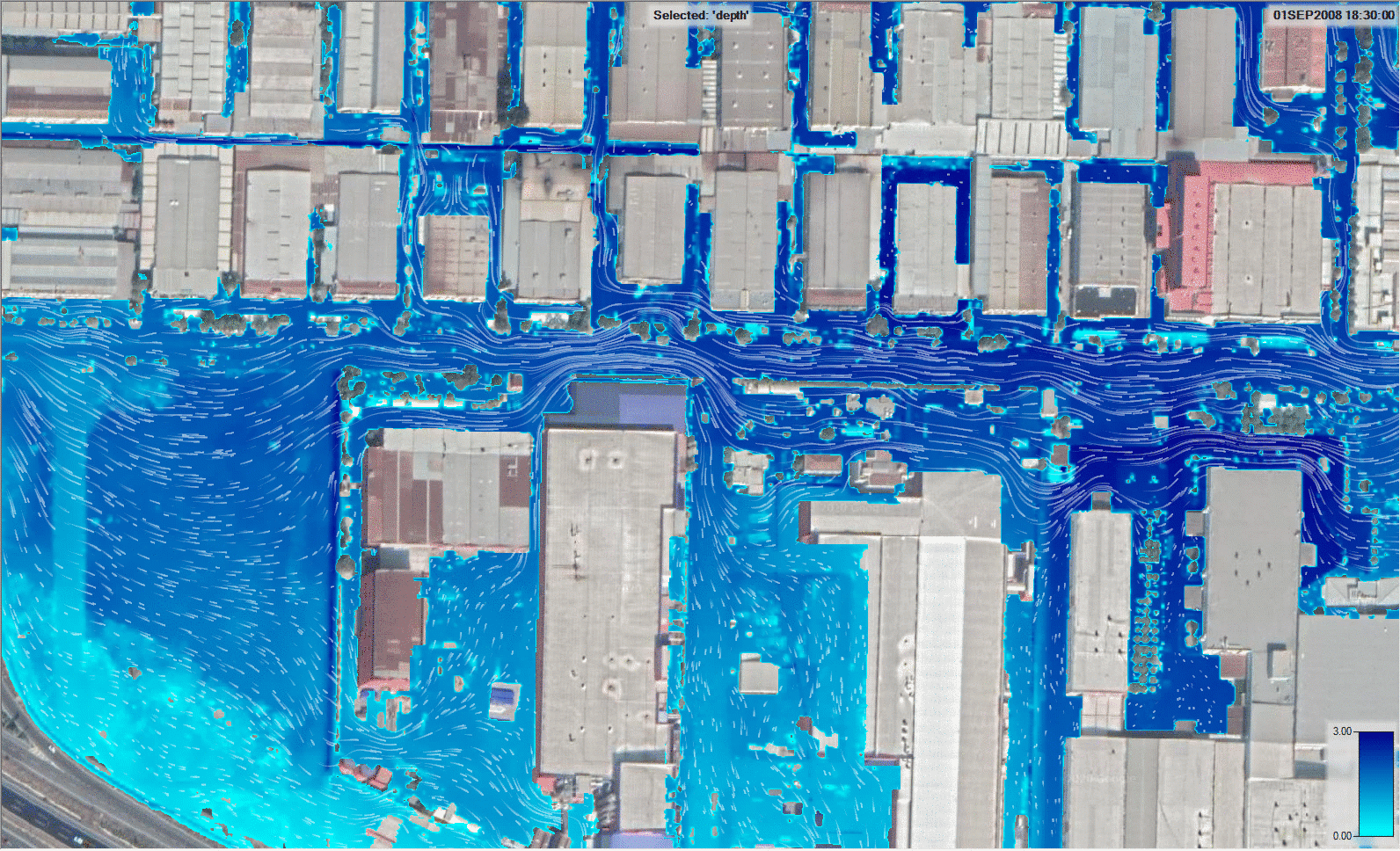
Country-Scale Flood Maps of Turkey
Our advanced Country-Scale Flood Maps of Turkey provide unprecedented insight into flood risks across the entire country, enabling businesses, insurers, and government agencies to make data-driven decisions about risk management and infrastructure planning.
Understanding and preparing for these risks has never been more critical. We provide 30-meter resolution flood maps for Turkey, offering the most comprehensive and detailed flood hazard insights available.

Unparalleled Precision
Our flood maps are based on 40 years of high-accuracy gridded daily precipitation data, blended from over 1,000 ground stations and satellite technology. Using cutting-edge machine learning, we ensure the highest fidelity in flood frequency analysis

Comprehensive Coverage
Leveraging GPU-accelerated hydrodynamic solvers, we simulate flooding for return periods ranging from 2 to 1,000 years. These simulations cover all river channels—no matter how small—ensuring that even minor flow pathways are accounted for. This comprehensive approach enables risk assessment across the entire country.

Hazard Mapping Everywhere
Our models generate flood hazard data for all locations, regardless of remoteness or urban density. The outputs are cross-validated with authoritative flood maps from the Directorate General for Water Management, ensuring reliability and consistency.

Climate Change Insights
We integrate climate dynamics into our high-resolution flood models using the latest General Circulation Models (GCMs). This allows us to assess flooding risks under various climate scenarios, time horizons, and warming levels. Whether planning for near-term risks or long-term climate resilience, our models offer actionable insights.
We go beyond traditional flood mapping, offering insights into the changing dynamics of flooding due to climate change. Our high-resolution simulations, powered by advanced technology and rigorous validation, make us a trusted partner in risk assessment and disaster resilience planning.
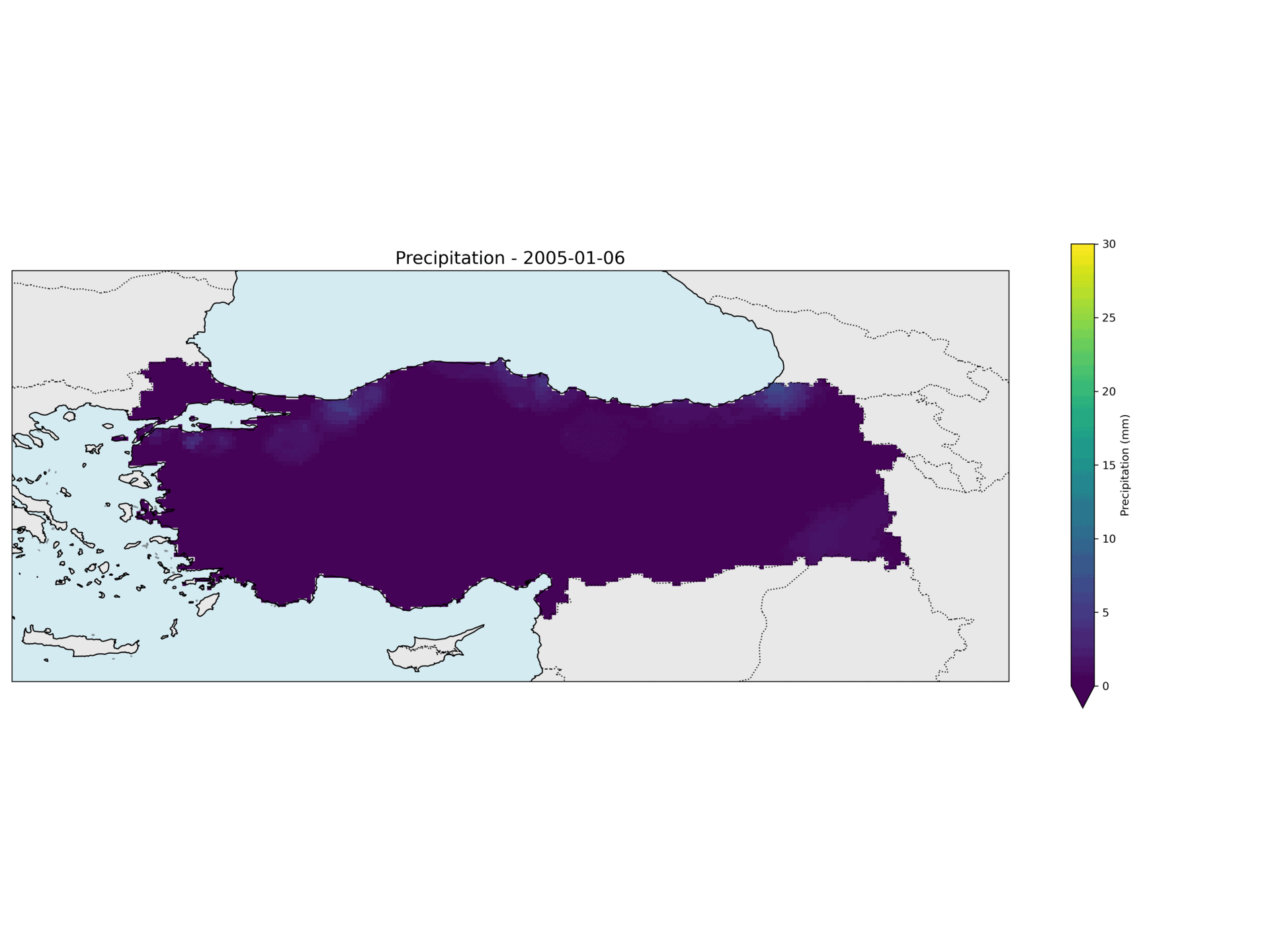
High-Accuracy Precipitation Data for Turkey
we deliver cutting-edge solutions for environmental and climate studies, including our flagship product: High-Accuracy Precipitation Data for Turkey.
Our unique dataset blends the latest satellite imagery with meticulously collected ground observations from over 1000 stations, spanning an impressive 40-year timeframe. This fusion delivers unmatched accuracy and reliability, surpassing all other available alternatives.
Data Accuracy
-
Advanced data fusion methodology combining satellite and ground observations using Machine Learning
-
Coverage from 1,000+ monitoring stations across diverse geographical regions
-
Validated accuracy surpassing existing precipitation data products
-
Complete 40-year historical record for robust trend analysis
Applications Across Critical Sectors
Accurate precipitation data is foundational for addressing the complex challenges posed by climate change, water resource management, and infrastructure planning.
Climate Studies: Track trends and anomalies to model climate scenarios effectively.
Hydrology: Enhance water resource planning with precise rainfall data.
Flood Analysis and Risk Assessment: Accurately simulate flood hazards for disaster preparedness and mitigation strategies.
Agriculture: Optimize irrigation strategies by understanding historical and current precipitation patterns.
Urban Planning and Infrastructure Development: Reduce project risks by integrating weather patterns into planning processes.
Sustainable Solutions Through Earth Observation and Remote Sensing
We specialize in leveraging data from cutting-edge satellite platforms, including Meteosat, Sentinel, Lansat and AVHRR, to deliver high-quality services tailored to meet the needs of diverse industries
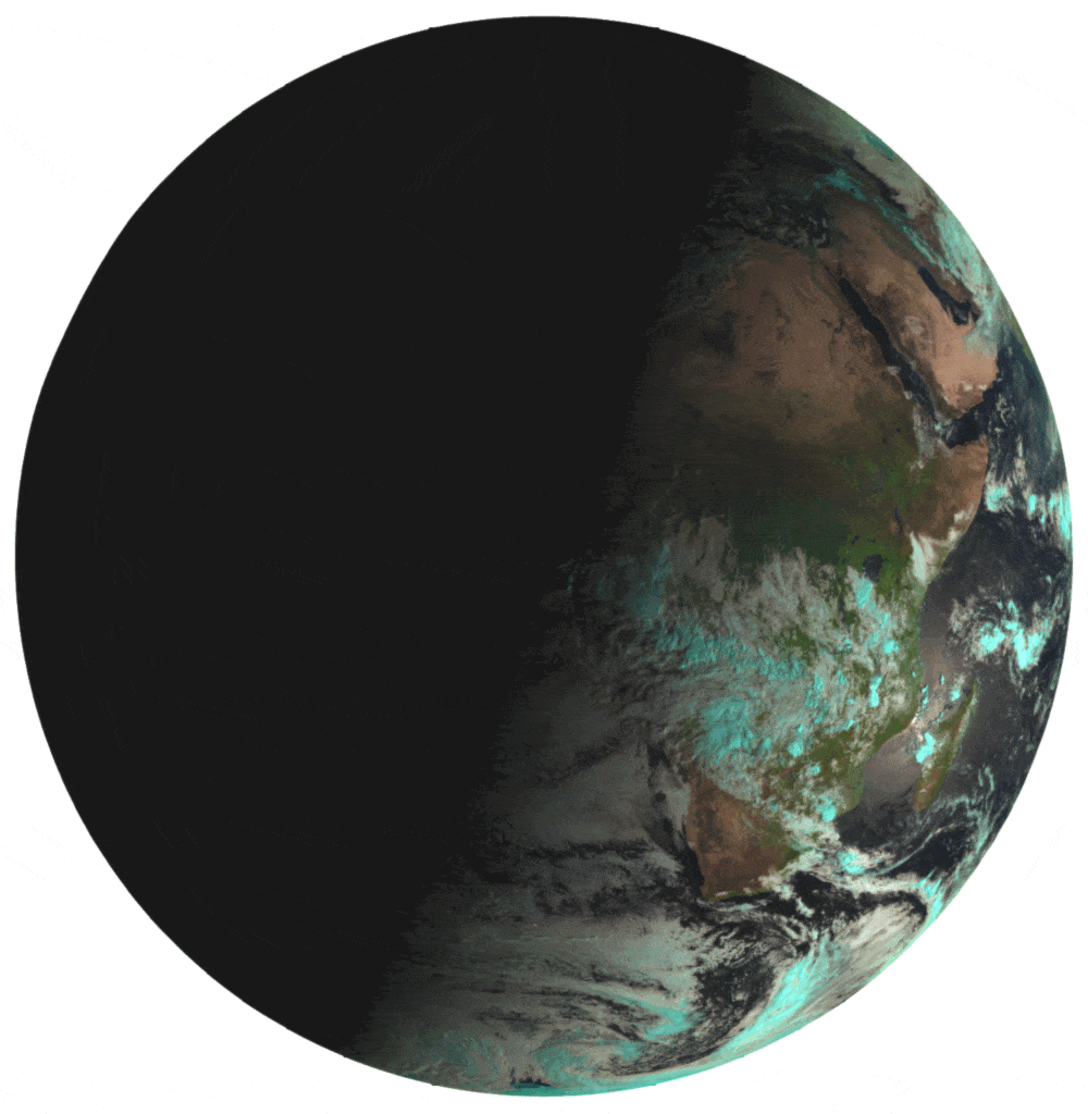
Meteosat Third Generation Sattelite - FCI Images
Change Detection
Our advanced remote sensing techniques enable precise monitoring of land use, vegetation, and environmental changes over time. By analyzing satellite imagery, we provide critical insights into urban development, deforestation, disaster recovery, and more.
Water Resources Management
We support effective water resource management by utilizing satellite data to monitor water bodies, assess water availability, and detect changes in hydrological patterns. Our solutions aid in planning, conservation, and sustainable usage of this vital resource.
Hydrology and Flood Monitoring
Using high-resolution satellite imagery and geospatial analysis, we offer unparalleled insights into hydrological systems. Our services include flood risk assessment, real-time flood monitoring, and predictive modeling to mitigate the impact of extreme weather events.
Urban Heat Effect Analysis
We utilize satellite data to study the Urban Heat Island (UHI) effect, providing valuable insights into temperature variations in urban areas. Our analyses support urban planners and policymakers in mitigating heat-related challenges, improving city infrastructure, and enhancing the quality of urban life.

Land Surface of Ankara City - mean of 2022-2024 summer - Landsat 8
bottom of page